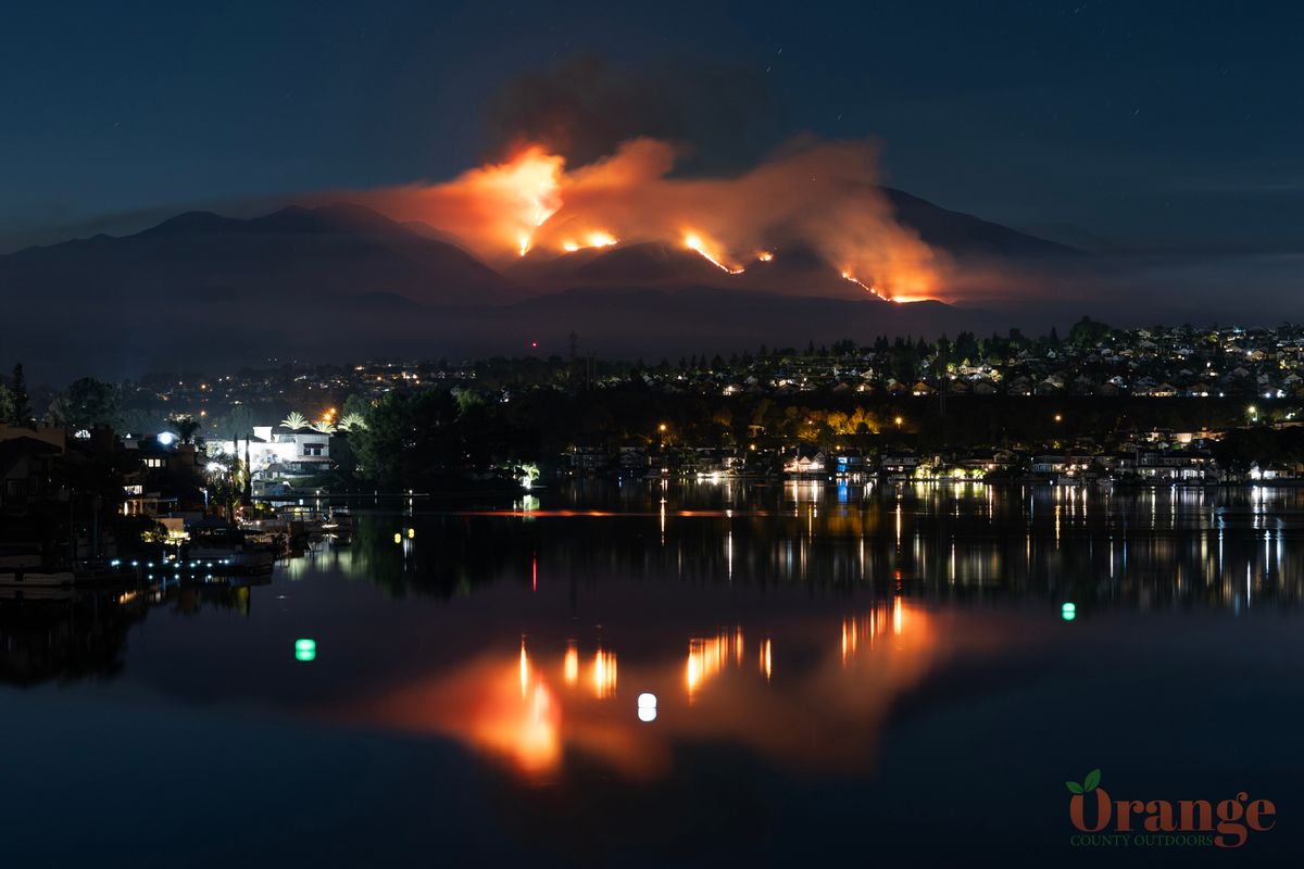
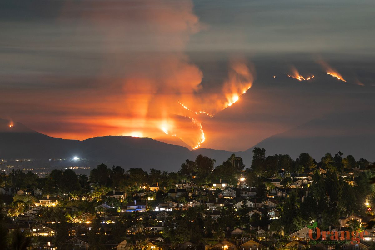
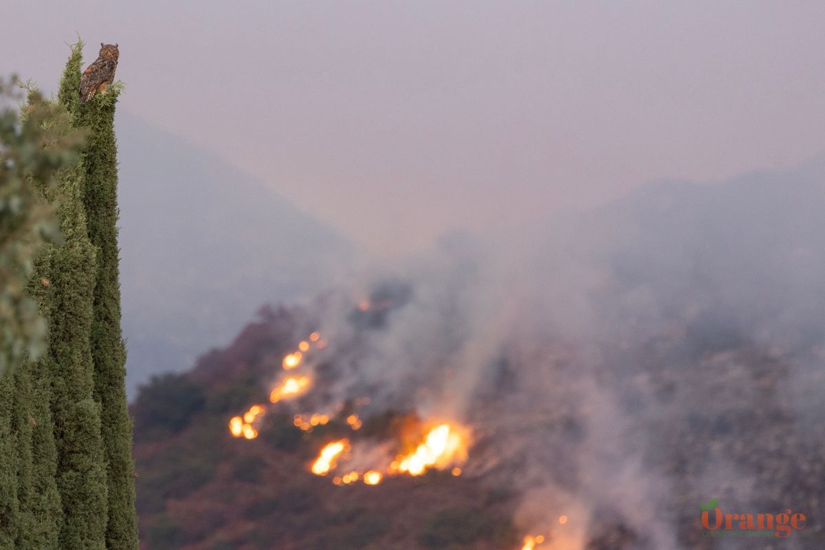
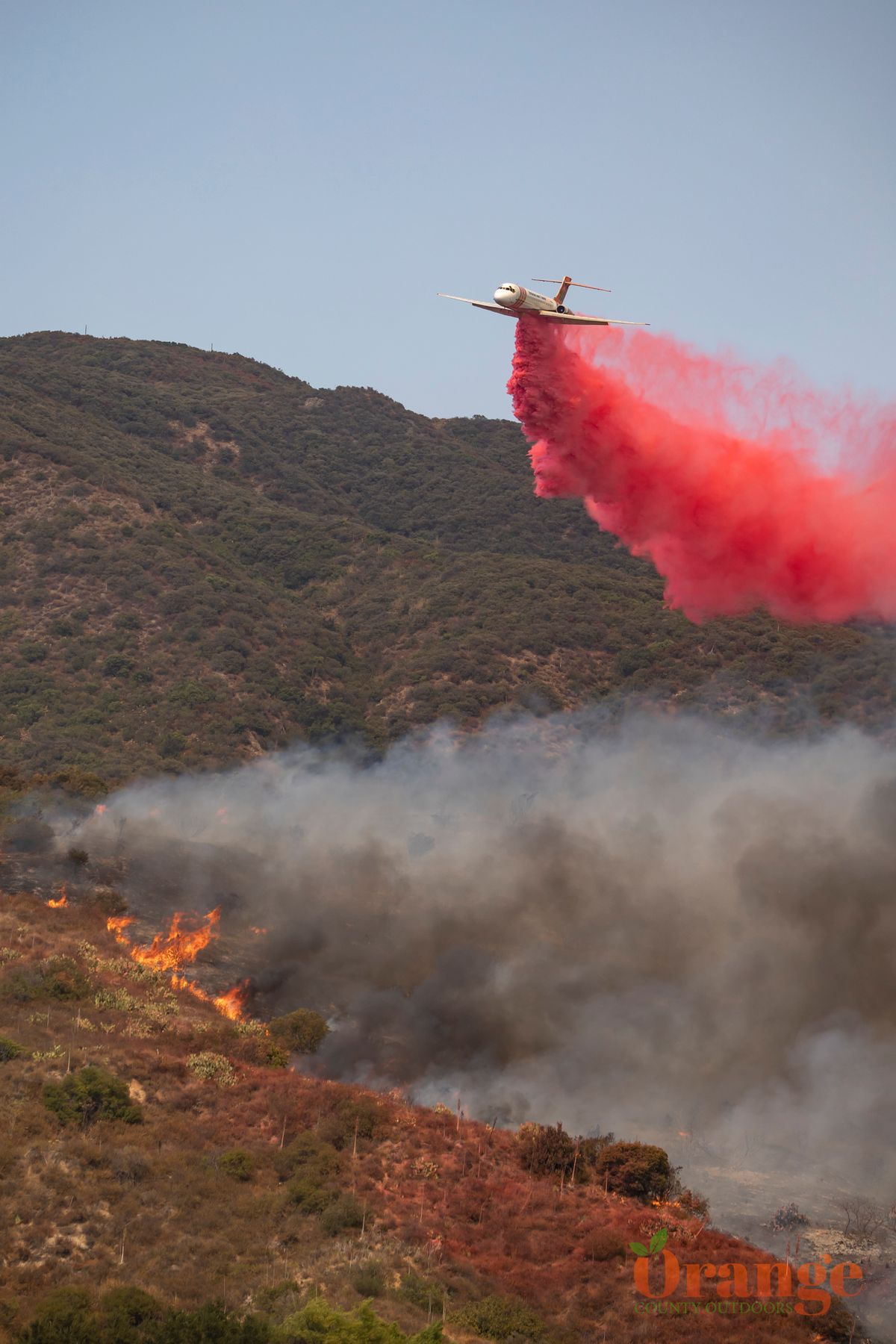
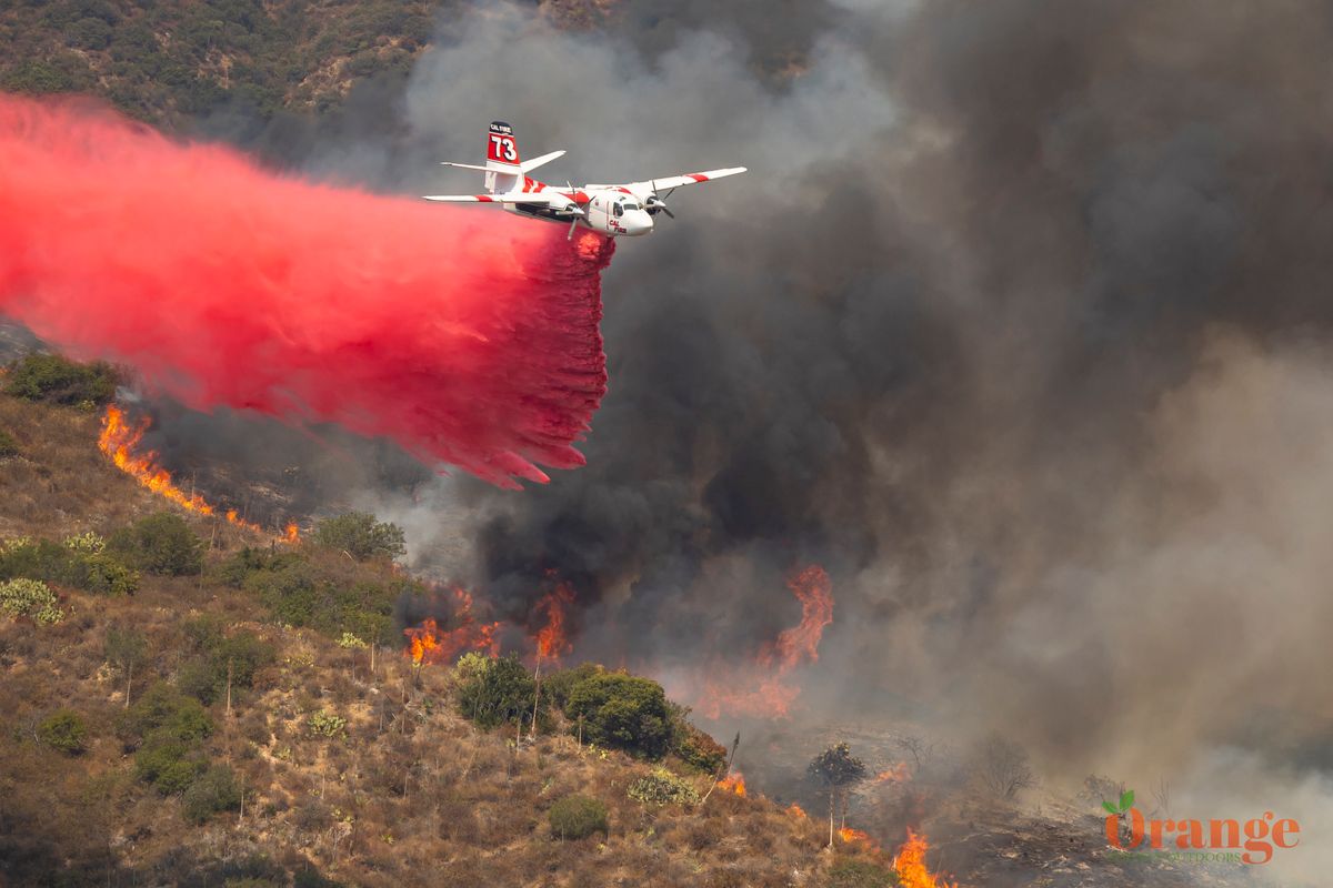
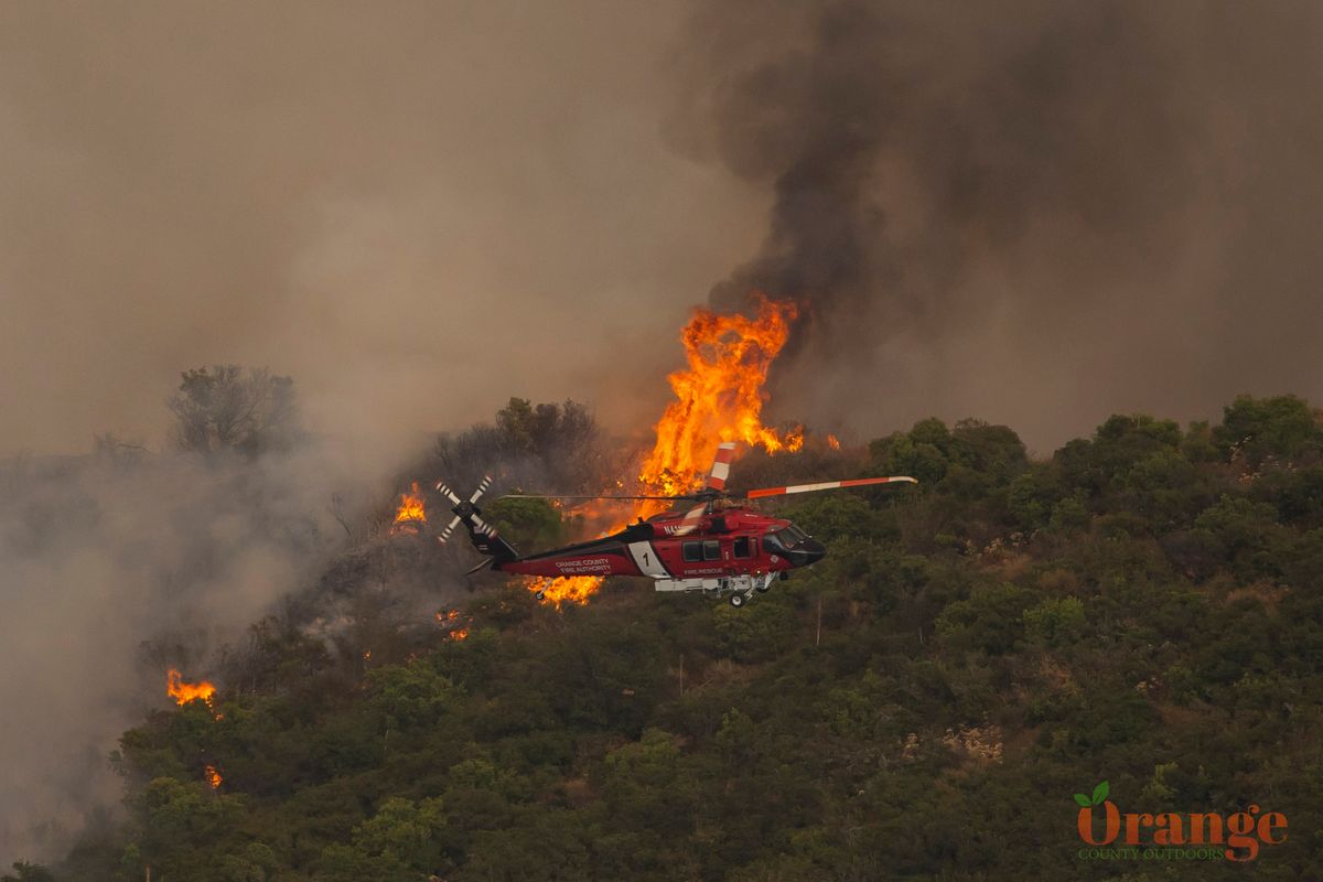
Dangerous fire starting in Trabuco Canyon on September 9th, 2024
Airport Fire
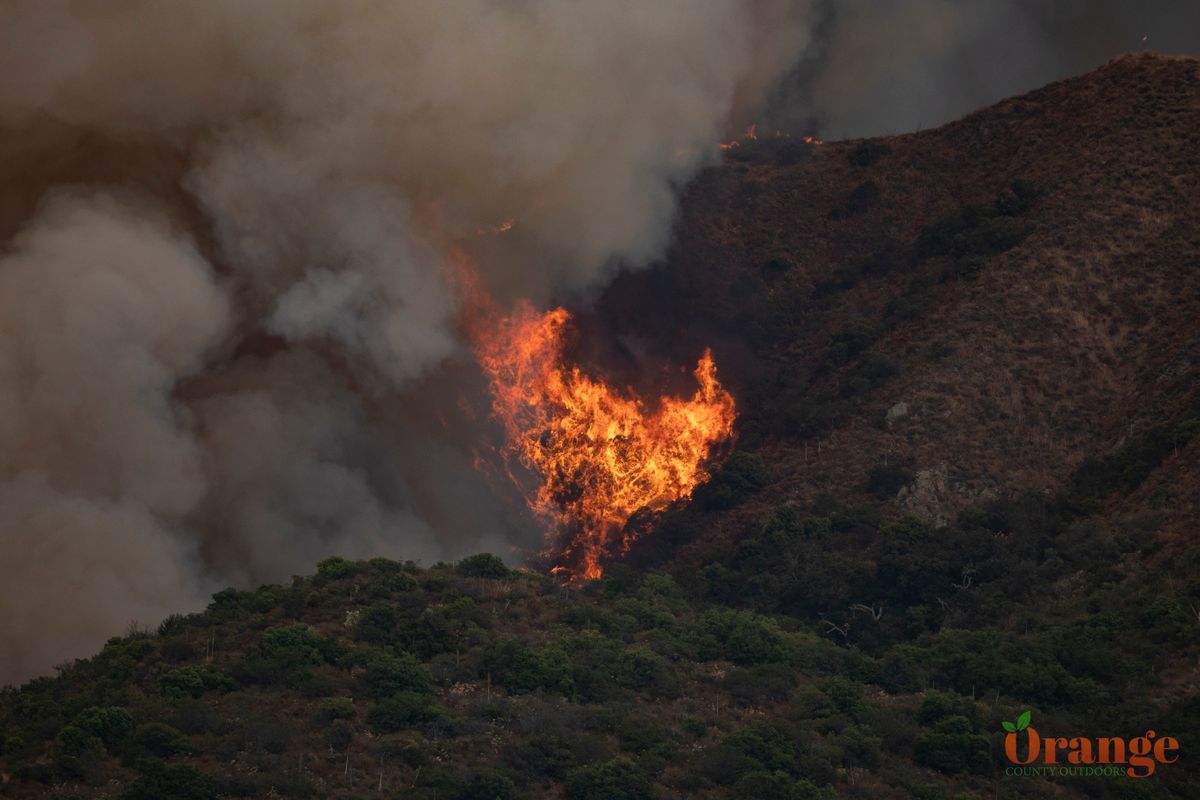
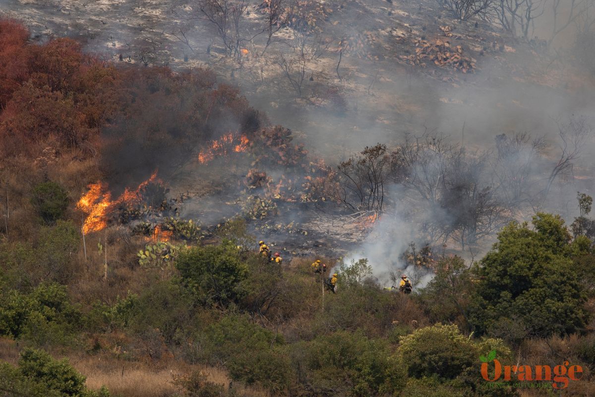
On September 9th, a 1/2 acre vegetation fire was observed on both sides of Trabuco Creek Rd. just a couple miles short of Holy Jim Canyon. Due to it's proximity to the Trabuco Flyers RC plane airstrip, this fire was dubbed the "Airport Fire" since there are not any other landmarks in the area. On this day, the weather was over 100° and no RC planes were being flown due to the uncomfortable weather which is also not good for batteries. Crews from OC Public Works were moving boulders to block a trail in an effort to reduce fire dangers near the RC airfield and were responsible for creating the fire with their machinery. It's quite ridiculous that two years prior, a dam removal crew from the military started a vegetation in the same area doing somewhat similar activity without proper fire prevention methods on hand. Somehow, nobody learned and was once again doing similar work here without any fire suppressants on hand. The fire could have been put out by putting dirt on top of it but they chose not to. There was a delay in responding to the fire as well because this crew did not report it, the fire was only reported when residents started seeing smoke and called 911.
Firefighting crews from OCFA, Cal Fire, and more responded very quickly to a call from a local resident who first reported the fire and did all they could to stop this blaze. The crew who started the fire did not report it which ultimately delayed the response time to fight this fire. Despite these firefighting efforts from ground crews and aircraft, the fire quickly spread due to the steep terrain and high winds that day. The fire spread three different directions, quickly forming three fires. One flank was headed towards Santiago Peak, another flank headed towards homes in Robinson Ranch and Dove Canyon, and the third flank headed towards Ortega Highway. Due to limited resources, the flank headed towards Ortega Highway was ignored for the time being since there were no structures threatened.
By the end of the first day, the Airport Fire went from 1/2 acre to 9,333 acres.
The "Airport Fire" took about a week to start getting containment on the fire due to high fire conditions, high winds, and difficult terrain to access. Resources were already strained due to the Bridge Fire and Line Fire in nearby counties that were both also burning out of control. Fire crews from around the state and some from neighboring states came to help with this fire. Several helicopters fixed winged aircraft were on scene including a Boeing 737 on loan from Australia.
The Aftermath
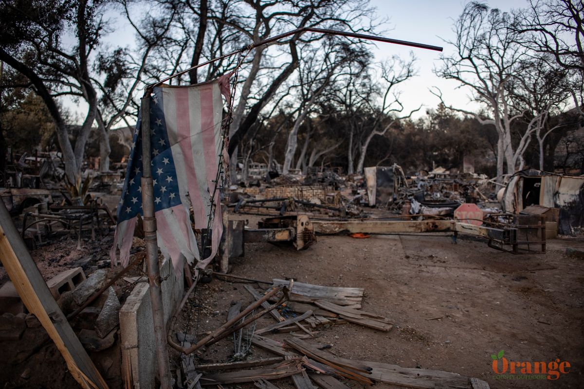
The Airport Fire burned 23,526 acres almost entirely in Cleveland National Forest in Orange and Riverside Counties. 161 structures were destroyed including 120 homes, 3 businesses, and 38 smaller structures of less than 120 square feet. 21 firefighters were injured battling this blaze including 8 firefighters that were injured in a crash on the 241 toll road.
The sleepy, scenic town of El Cariso was mostly wiped off the map, completely destroyed except for a few homes and the country store. There has not been much help for the people in this town if any at all and there is a GoFundMe that has been set up to directly go to the people that were affected. There is a donation booth that has been set up next to Haffey Farms Country Store and they are in need of drinking water, food, tools, gift cards from Lowes/Home Depot, Target etc...
Residents have expressed concern about the fact that no firefighting efforts were put in place to protect structures in El Cariso, everyone was left to fend for themselves. Those who stayed were able to protect their homes with garden hoses and they had to watch all their neighbors homes burn.
Update for 1 month after the fire started
No apology or acknowledgement has been given by OC Public Works despite it being known that they are solely responsible for this fire. The town of El Cariso which was mostly wiped off the map has also received no apology or assistance of any kind from OC Public Works.

